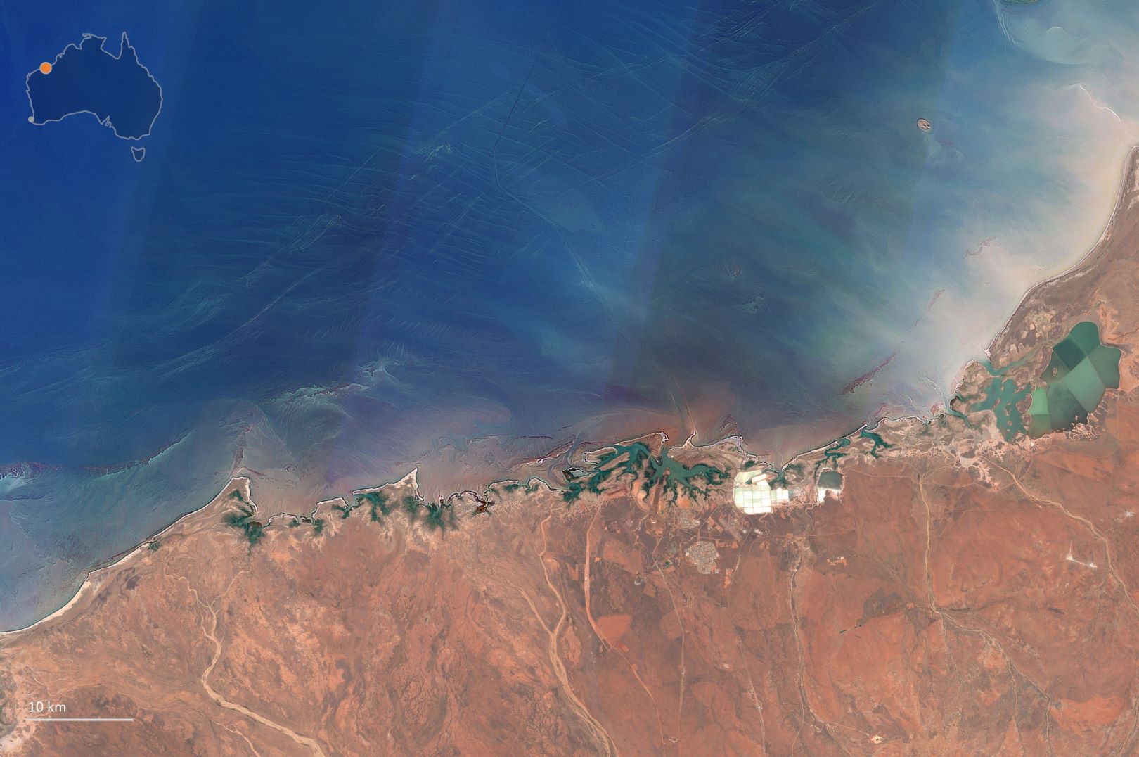
north-west coastline.
Image credit: Allen Coral Atlas
Researchers are developing habitat maps of reefs in the northern Australian seascape using state-of-the-art satellite imaging technology, in an effort that will better protect the richly biodiverse habitats.
The project was officially launched in March of this year, as a collaborative initiative of the National Environmental Science Program Marine and Coastal Hub, and co-led by The University of Queensland’s Associate Professor Chris Roelfsema and Dr Eric Lawrey from the Australian Institute of Marine Science (AIMS).
“The aim of the project is to have the UQ team improve the habitat maps, while the AIMS team creates new reef boundaries,” Dr Rolfsema said.
“But we can now do this with new imagery, field data and updated approaches to improve on existing habitat maps for shallow areas.
“Northern Australia is home to hundreds of reefs and shoals – many of which remain unmapped due to their remote location and the difficulty in differentiating them in the turbid waters in the region.”
The project uses new satellite imaging selection techniques that provide a clearer view of marine areas, allowing researchers to fill the gaps for previously unmapped reefs and connect to various agencies and provide them with updated field data and expert knowledge.
“The Remote Sensing Research Centre’s marine team is building on the benthic habitat mapping approaches developed and implemented by my team for previous projects, such as the Allen Coral Atlas,” Dr Roelfsema said.
“They will use recent field data, together with the new satellite imagery to improve existing shallow water geomorphic and benthic habitat maps.”
Dr Roelfsema said mapping reefs using satellite imaging has many advantages, including the ability to cover massive areas – but is limited by the visible depth of the water.
“In northern Australia, water visibility is typically quite low due to the fine sediments from the land being trapped by the wide continental shelf,” he said.
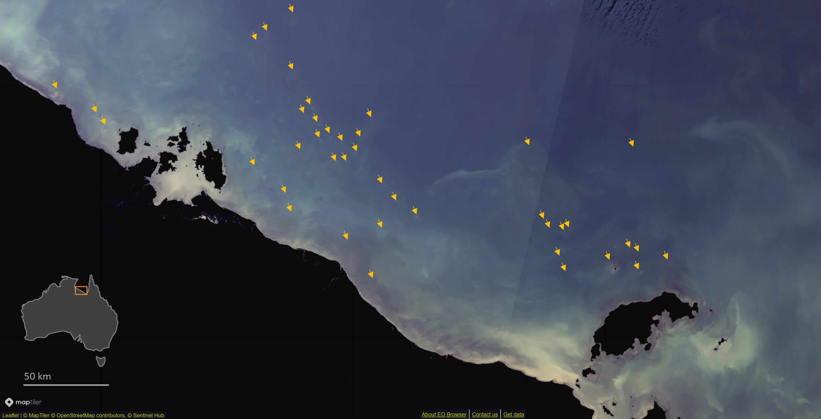
Image credit: Allen Coral Atlas.
“These sediments get resuspended in the water due to mixing from large tides and wind, making the water visibility generally poor.
“For this project, in shallow areas less than 10 meters in depth, the existing habitat maps will be improved by the new imagery and more recent verification data for its machine learning mapping algorithm.
“In deeper or more turbid waters, the image clarity is too poor to map habitats – however, we can often still detect and map reef boundaries and these can flag the presence of a sensitive environment.
“We will do this by exploiting the brief periods where the water is much clearer and combining it with over 30 years’ worth of publicly accessible satellite imagery to create the clearest images possible.”
Dr Roelfsema said the current lack of comprehensive, consistent, and up-to-date mapping of reef habitats means these vital marine environments are at risk of being overlooked in the environmental assessment of developments across northern Australia.
“This project will make it harder for developers to ignore our reefs along the northern seascape and bring to light their current condition and the threats they face,” he said.
“It will help researchers further understand what habitats exist and how they are changing and help conservationists understand which areas require improved management for biodiversity conservation and additional protection.”


